Accuracy Checking
Single Base Accuracy Check
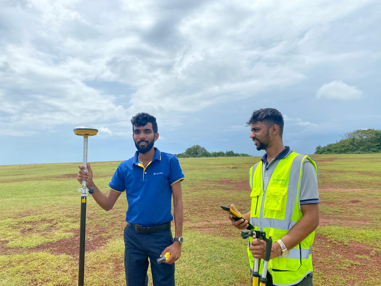
A024 Ussangoda point accuracy checking
GlobalGIS delivers centimeter-level positioning accuracy through our state-of-the-art CORS network. Empowering surveyors, engineers, and precision agriculture across Sri Lanka.
Real-time visualization of our CORS network across Sri Lanka. Each station provides continuous RTK corrections for centimeter-level accuracy.
Flexible subscription plans designed for every project scale. Activate instantly with online payment.
A024 Ussangoda point accuracy checking
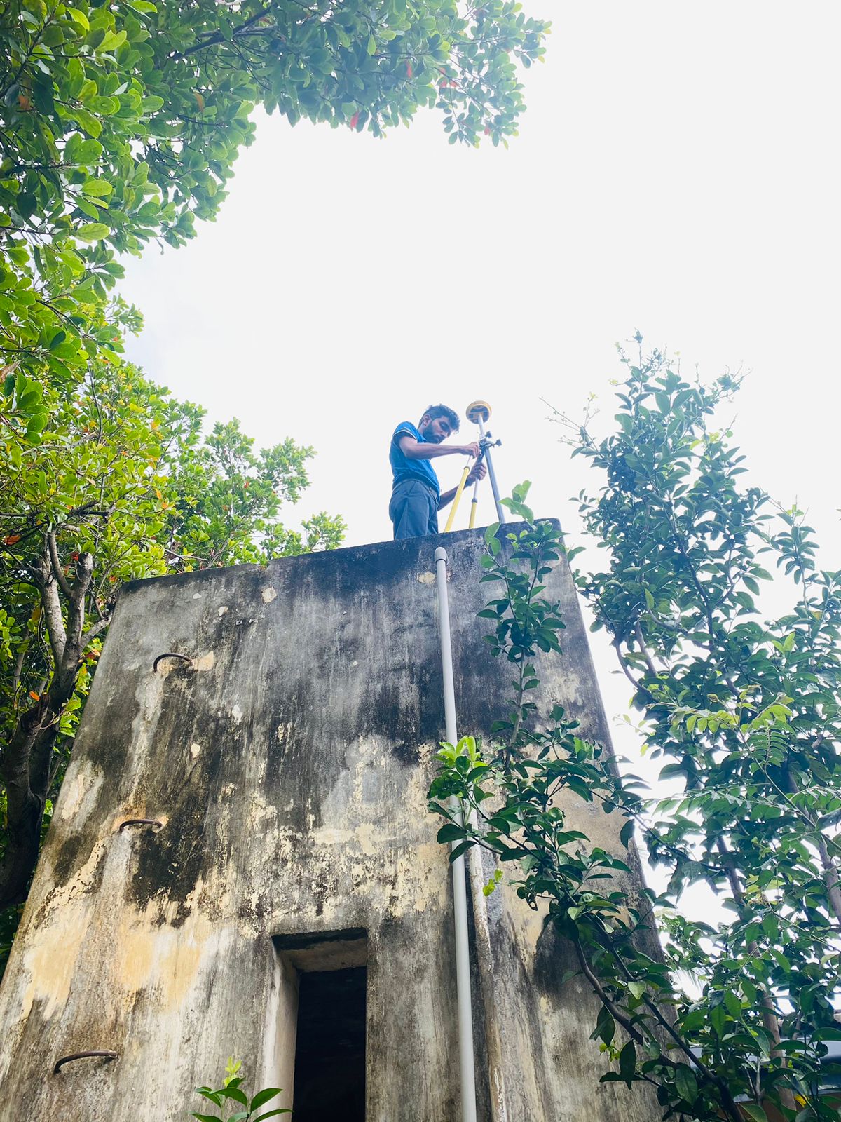
A025 Hambantota DSO point accuracy checking
Create your GlobalGIS account and activate CORS services instantly with secure online payment. No paperwork, no delays - just precision positioning ready when you are.
Register with your email and verify your identity
Choose subscription duration that fits your project
Secure payment via card, bank transfer, or mobile wallet
Enter your credentials to access CORS services
Don't have an account? Create one